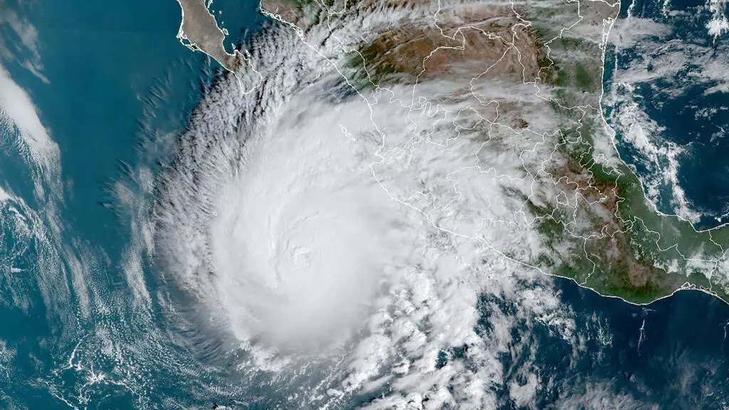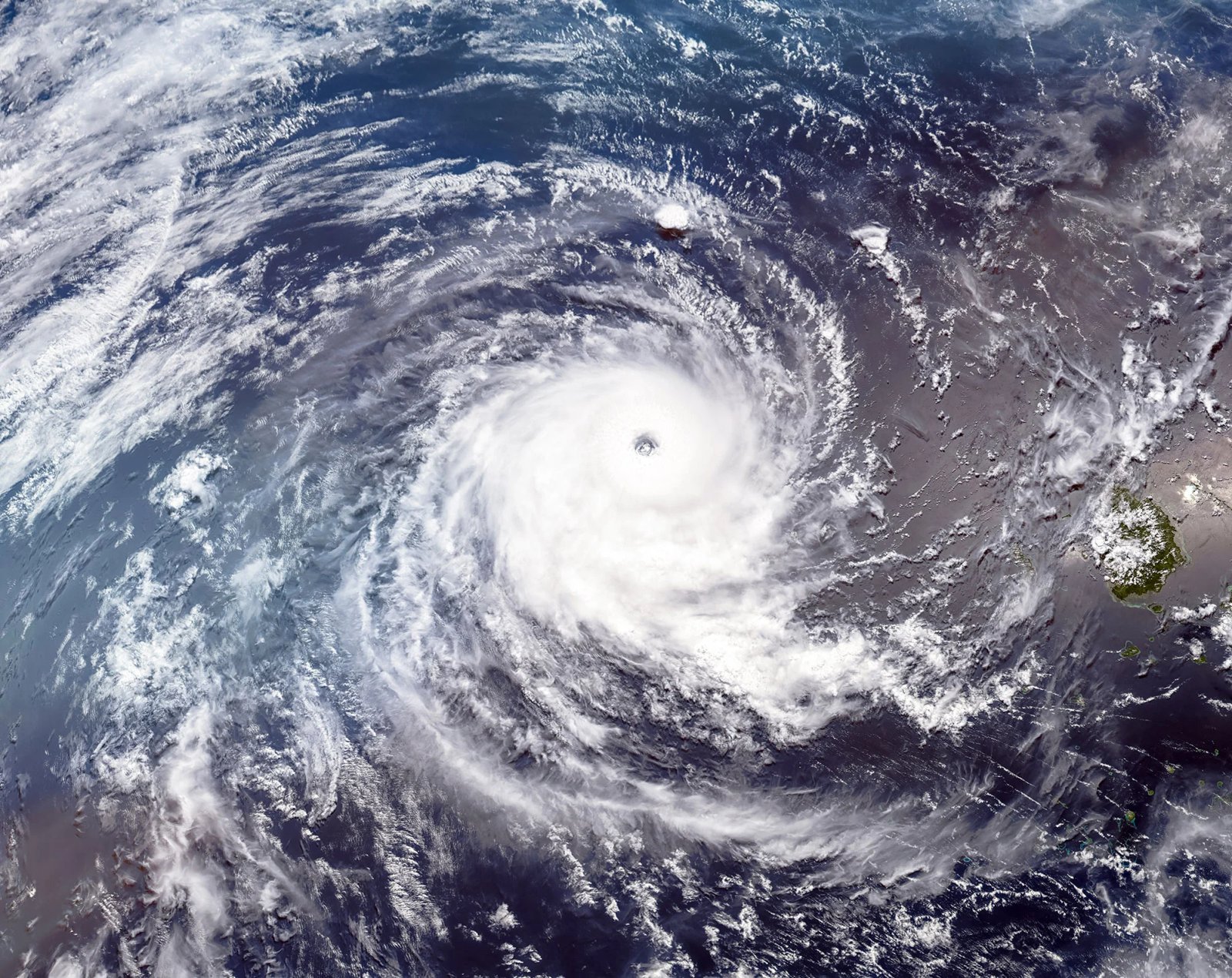
The National Hurricane Center reclassified Rachel as a post-tropical cyclone in its 11 p.m. EDT Saturday advisory, hours before the system's expected landfall along northern Baja California. The downgrade followed more than 12 hours without organized deep convection, with the circulation becoming elongated and its energy now driven by a nearby upper-level trough rather than tropical processes.
Don't let the reclassification fool you: the initial intensity was lowered to 50 knots - about 58 mph - and the storm is racing north-northeast toward land, with its remnants forecast to cross the U.S. Southwest on Sunday. A Tropical Storm Warning stands for northern Baja's Pacific coast, and a Tropical Storm Watch runs along the Southern California coast from the U.S.-Mexico border to the San Diego/Orange County line - only the second such watch ever issued for San Diego, after Hurricane Hilary in 2023.
The Weather Prediction Center put parts of Southern California, northwest Arizona, southern Nevada and southwest Utah under a moderate risk of excessive rainfall - a Level 3 of 4 flash-flood risk through Sunday. San Diego and Las Vegas could each see an inch or more of rain, roughly double to triple their normal October totals. Peak gusts near San Diego early Sunday could reach 25 to 40 mph at lower elevations and 50 to 70 mph in the mountains.
A coastal flood warning is in effect for beaches from Malibu through Los Angeles County to San Diego until Sunday afternoon, worsened by strong El Nino-driven water levels. Forecasters expect the flooding and surf threat to persist even as Rachel's center moves inland and dissipates.