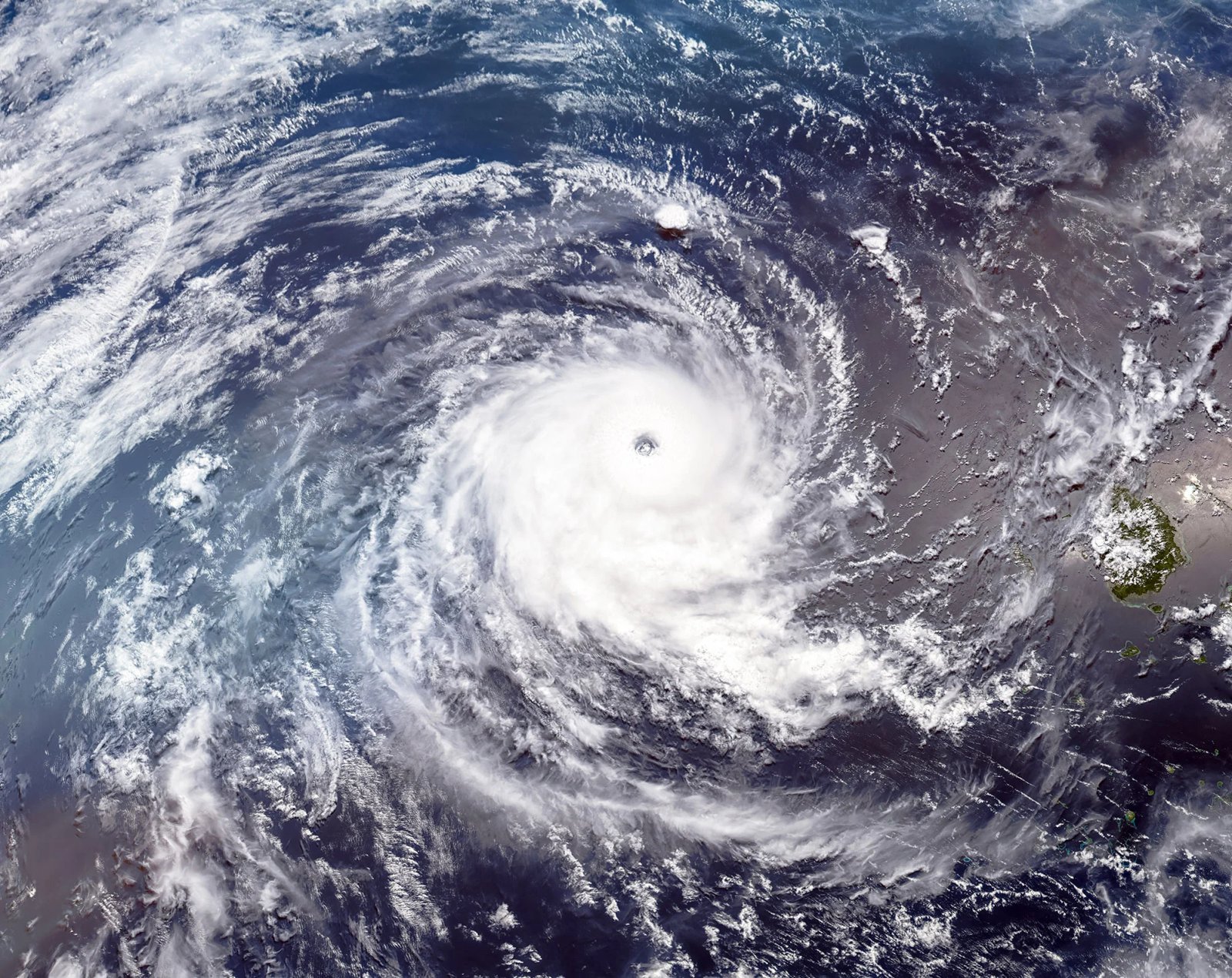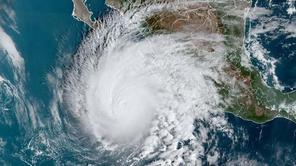
Hurricane Simon strengthened into a Category 4 storm early Sunday as it bore down on Mexico's Pacific coast, with the National Hurricane Center warning of catastrophic winds, storm surge and torrential rain. At its 5:00 a.m. EDT update, the storm was positioned about 60 miles west-southwest of Manzanillo, packing maximum sustained winds of 155 mph with higher gusts and a central pressure of 930 millibars.
A hurricane warning is in effect from Punta San Telmo to El Roblito, along with Las Islas Marías. Forecasters expect 10 to 20 inches of rainfall across southwestern Mexico through Sunday, with isolated totals up to 30 inches in Michoacán, Colima and Jalisco - raising the risk of life-threatening flooding and mudslides. Landfall is expected near or just inland over west-central Mexico later Sunday, with the storm forecast to hug the coast into Monday.
The storm's intensity has also caught the attention of financial markets: if Simon's pressure falls to 932 millibars or lower inside a parametric trigger box, it would trigger a 25 percent payout on Mexico's $175 million IBRD CAR Mexico 2024 Pacific catastrophe bond tranche, according to Artemis. The storm is a separate system from the post-tropical cyclone Rachel, which struck Baja and Southern California over the weekend.