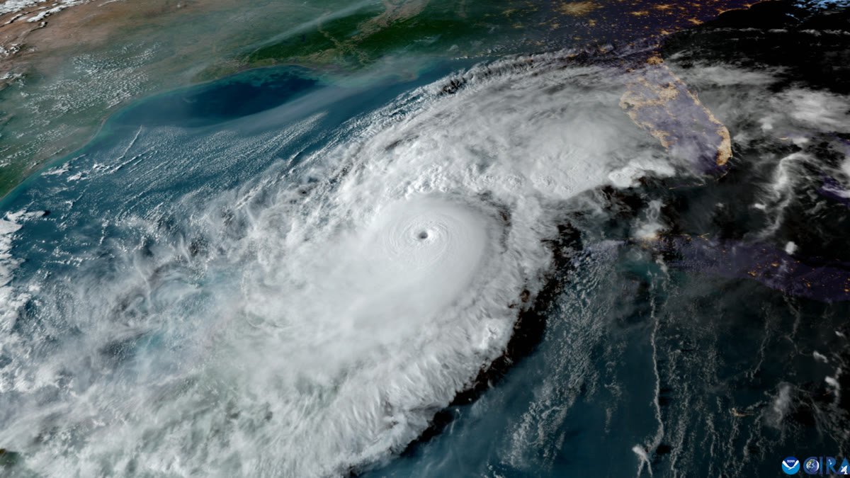
The National Hurricane Center is watching a low-pressure system in the southwestern Gulf of Mexico that forecasters say could become the Atlantic season's next tropical depression — or Tropical Storm Isaias — later this week. On Monday the NHC raised the system's development odds to 60 percent within 48 hours and 70 to 80 percent over seven days.
The disturbance, an area of low pressure over the Bay of Campeche trailing a stalled front, is expected to drift east and then turn north toward the northern Gulf. The Weather Channel reports record-warm Gulf waters are not expected to hinder organization, though forecast models still disagree sharply on how strong the system gets and exactly where it goes.
Regardless of whether it earns a name, the system is expected to send heavy rain toward the northern Gulf Coast — from southern Louisiana to the Florida Panhandle — by this weekend, a region already saturated by recent storms. Forecasters urged residents from Texas to Florida to monitor updates and keep hurricane plans ready in what has otherwise been an unusually quiet Atlantic season.