
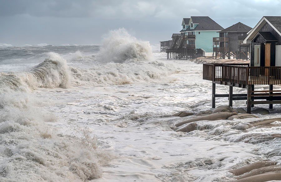
A slow-moving nor'easter is pressing flood risk onto a long stretch of the U.S. East Coast. The storm spinning off the North Carolina coast is expected to bring coastal flooding, beach erosion, gusty winds, dangerous surf and rip currents to parts of the Mid-Atlantic and Southeast through Thursday, Fox Weather reports.
The National Hurricane Center has tagged the system Invest 93L, a designation that means it has the potential to take on subtropical or tropical characteristics — if named, it would become Subtropical Storm Josephine — and that forecasters will deploy additional tools to track it. The storm is forecast to remain offshore and begin pulling away from the coast by the end of the week.
The flooding mechanism is persistence, not raw strength. A blocking pattern over the Atlantic has stalled the system while a robust high-pressure system north of the Great Lakes feeds a long corridor of northeast winds toward the coast. The longer those winds blow, the more water piles up against the shore and into inland bays, with repeated high tides compounding the risk. North Carolina's Outer Banks face renewed overwash threatening Highway 12, the vital route connecting Hatteras Island to the mainland, and coastal flood advisories cover parts of Delaware and New Jersey.
The National Weather Service warns coastal impacts could persist through Thursday as the storm gradually moves north. Residents are advised to follow local advisories, avoid flooded roads, stay clear of dangerous surf and move vehicles out of flood-prone areas before high tide.


