
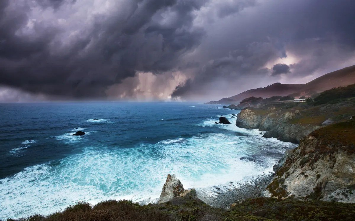
LOS ANGELES — California is bracing for the first significant storm of its rainy season, a strong low-pressure system moving in on Wednesday that forecasters say will be the rainiest day of the week for much of the state, with Thursday the snowiest in the Sierra Nevada.
The National Weather Service has placed the Central and Southern California coast — from Monterey and Big Sur through Santa Barbara, Malibu, Long Beach and Newport Beach — under a slight risk, level two of four, for flash flooding, while a separate flood watch covers parts of the San Joaquin Valley, the Kern River Valley and the Mojave Desert slopes through Thursday evening.
Most coastal and valley areas in Southern California are expected to see a half-inch to an inch and a half of rain, with up to three inches in higher terrain. Downtown Los Angeles could record one to one and a half inches through Thursday night — more than double the entire-month normal and potentially the city's wettest October since 2009.
The greatest concern is over recent burn scars, where heavy bursts of rain can trigger debris flows. The U.S. Geological Survey warns that just a quarter-inch of rain in 15 minutes could send a slurry of rock and mud across Highway 1 near the Timber and Plaskett scars on the Big Sur coast.


